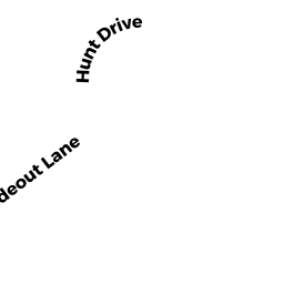
65 HUNT DR
Owner Information
JORDAN ROBERT
65 HUNT DR
STOUGHTON, MA 02072


Property Details
65 HUNT DR is classified as a Single Family Residential (Colonial).
The primary structure on this property was built in 1998. There are 3,604ft2 of built area within this property. There is 3,604ft2 of residential/living space within this property. This property is listed as having 7 rooms.
65 HUNT DR is valued at $618,800. The land is valued at $192,100 and the structures are valued at $425,400. There is an additional valuation of $1,300 on this property.
This property is in Zone RB. Confirm with local Zoning Board authorities to ensure there are no overlays or other easements on this property.
The most recent deed for 65 HUNT DR is recorded at the local registrar in Book 17380, Page 049. 65 HUNT DR was last sold on Tuesday, October 15, 2002 for $525,000.
Assessment data from fiscal year 2022.
Flood Data
This property is partially within the A Zone (within floodplain). Approximately 0.09 acres (7.42%) of the property is within this zone.
This information is sourced from the FEMA National Flood Hazard Layer. See our full disclamer.
Broadband Internet Providers
| Provider | Type | Bandwidth (mbps) | |
|---|---|---|---|
| Comcast | Cable | 1000 | 35 |
| Verizon New England Inc. | Fiber | 940 | 880 |
| Verizon New England Inc. | DSL | 5 | 0 |
| Viasat Inc | Satellite | 100 | 3 |
| HughesNet | Satellite | 25 | 3 |
| VSAT Systems, LLC. | Satellite | 2 | 1 |
| GCI Communication Corp. | Satellite | 0 | 0 |
Broadband service provider data from December 2020.
Adjacent Properties
- 189 KOTLIK ST
Single Family Residential owned by WOLFRUM ALAN E - 2 CHASE CR
Single Family Residential owned by OLANS ALAN M - 0 PLAIN ST
Vacant, Conservation (Municipal or County) owned by TOWN OF STOUGHTON - 61 HUNT DR
Single Family Residential owned by PEARL RICHARD E - 186 KOTLIK ST
Single Family Residential owned by DOHERTY DAVID P